Original: $1,995.00
-70%$1,995.00
$598.50The Story
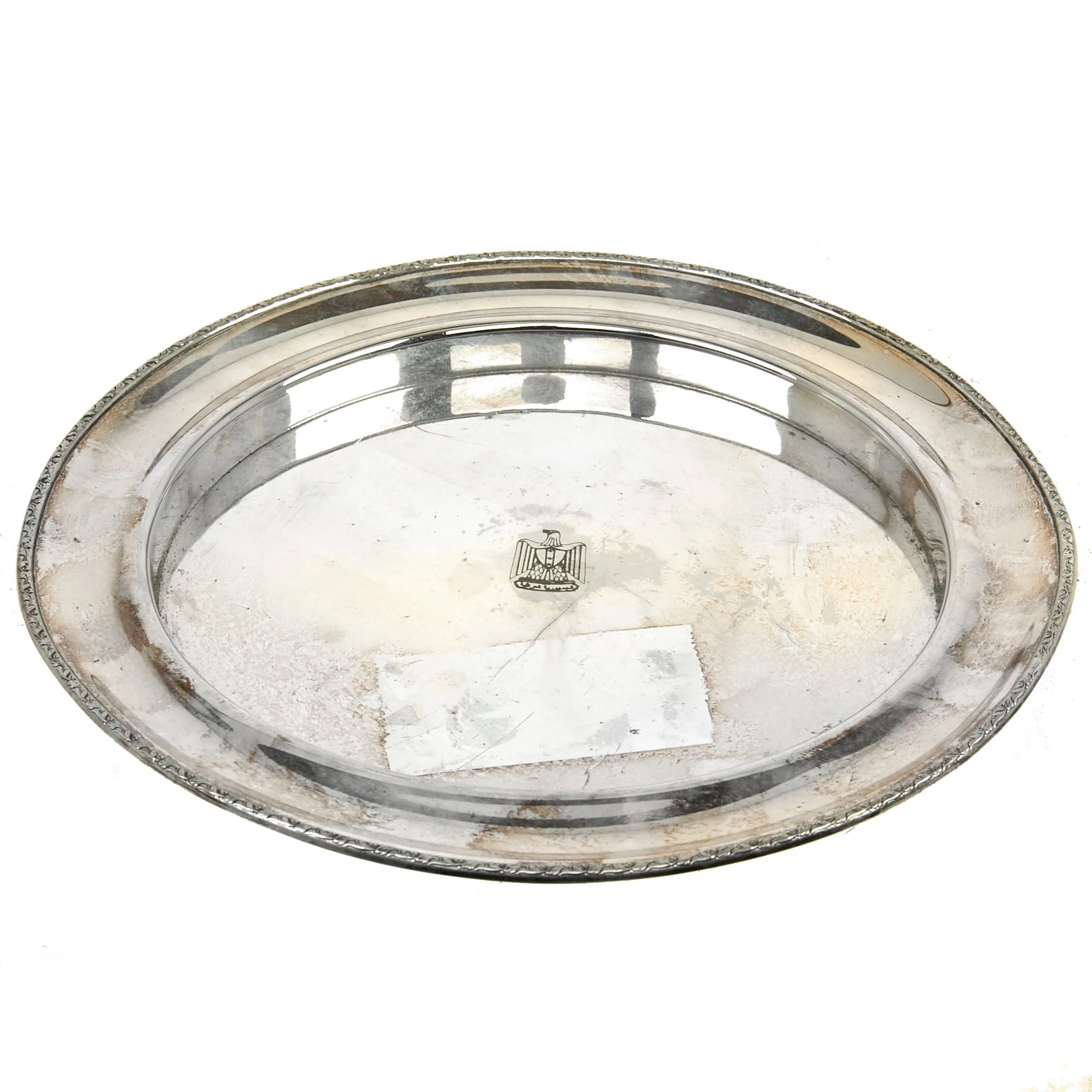
Original Item. Only One Available. The Battle of Iwo Jima was fought in February and March, 1945 in the Volcano Islands (more broadly the Bonin Islands), about 750 miles (1,200 kilometers) south of Tokyo. The battle was fought entirely by the US Marines and Navy. Iwo Jima has the distinction of causing more casualties for the Americans than the Japanese. Iwo Jima has been immortalized as Joe Rosenthal took one of the most famous pictures in the history of the world, "Raising the Flag on Iwo Jima."
This map shows the “Enemy Defense Installations” of the Island of Iwo Jima as observed from a ground study conducted from February 19th - March 19th, 1945. So this map would have been used during the final 7 days of the battle from March 20th-26th. The map uses a color-coded system with blue, purple, and salmon. The map also notes that THOUSANDS OF CAVES USED FOR DEFENSIVE POSITIONS, PERSONNEL, AND STORAGE HAVE NOT BEEN PLOTTED.
Near the top right it’s marked:
CONFIDENTIAL
MAP APPENDIX
CINCPAC-CINCPOA BULLETIN NO. 136-45
The map measures roughly 14 x 19¼” and has some damage to include tearing along the edges and some tearing along the fold markings. The map is marked along the bottom edge JICPOA L-50608-54.
An extremely rare map, ready to frame and display in your WWII USMC Collection!

Details & Craftsmanship
Every detail has been carefully considered to bring you the perfect product.

Details & Craftsmanship
Every detail has been carefully considered to bring you the perfect product.

Details & Craftsmanship
Every detail has been carefully considered to bring you the perfect product.

Details & Craftsmanship
Every detail has been carefully considered to bring you the perfect product.

Details & Craftsmanship
Every detail has been carefully considered to bring you the perfect product.

Details & Craftsmanship
Every detail has been carefully considered to bring you the perfect product.

Details & Craftsmanship
Every detail has been carefully considered to bring you the perfect product.

Details & Craftsmanship
Every detail has been carefully considered to bring you the perfect product.

Details & Craftsmanship
Every detail has been carefully considered to bring you the perfect product.
Description
Original Item. Only One Available. The Battle of Iwo Jima was fought in February and March, 1945 in the Volcano Islands (more broadly the Bonin Islands), about 750 miles (1,200 kilometers) south of Tokyo. The battle was fought entirely by the US Marines and Navy. Iwo Jima has the distinction of causing more casualties for the Americans than the Japanese. Iwo Jima has been immortalized as Joe Rosenthal took one of the most famous pictures in the history of the world, "Raising the Flag on Iwo Jima."
This map shows the “Enemy Defense Installations” of the Island of Iwo Jima as observed from a ground study conducted from February 19th - March 19th, 1945. So this map would have been used during the final 7 days of the battle from March 20th-26th. The map uses a color-coded system with blue, purple, and salmon. The map also notes that THOUSANDS OF CAVES USED FOR DEFENSIVE POSITIONS, PERSONNEL, AND STORAGE HAVE NOT BEEN PLOTTED.
Near the top right it’s marked:
CONFIDENTIAL
MAP APPENDIX
CINCPAC-CINCPOA BULLETIN NO. 136-45
The map measures roughly 14 x 19¼” and has some damage to include tearing along the edges and some tearing along the fold markings. The map is marked along the bottom edge JICPOA L-50608-54.
An extremely rare map, ready to frame and display in your WWII USMC Collection!